The ggmap package can be used to access maps from the Google Maps API and there are a number of examples on various statistics related blogs. These include here, here and here.
Fast Tube by Casper
The ggmap package has a function get_map that can download maps from various sources including Google Maps.
require(ggmap) |
The first example specifies the longitude and latitude close to the London 2012 Olympic park from Google and selects the satellite map type. The extent=”device” argument stretches the map to fill the whole graphics device.
mapImageData1 <- get_map(location = c(lon = -0.016179, lat = 51.538525),
    color = "color",
    source = "google",
    maptype = "satellite",
    zoom = 17)

ggmap(mapImageData1,
    extent = "device",
    ylab = "Latitude",
xlab = "Longitude") |
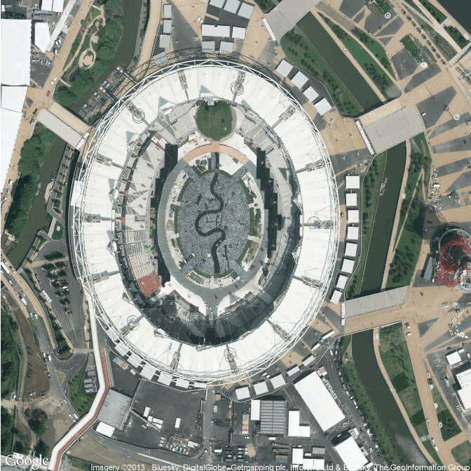
London 2012 Olympic Stadium Google Map Example 1
The second example is based on the terrain map type which looks slightly odd.
mapImageData2 <- get_map(location = c(lon = -0.016179, lat = 51.538525),
    color = "color",
    source = "google",
    maptype = "terrain",
    zoom = 16)

ggmap(mapImageData2,
    extent = "device",
    ylab = "Latitude",
xlab = "Longitude") |

London 2012 Olympic Stadium Google Map Example 2
The third example is roadmap and is uncluttered and provides an overview of the surroundings.
mapImageData3 <- get_map(location = c(lon = -0.016179, lat = 51.538525),
    color = "color",
    source = "google",
    maptype = "roadmap",
    zoom = 16)

ggmap(mapImageData3,
    extent = "device",
    ylab = "Latitude",
xlab = "Longitude") |
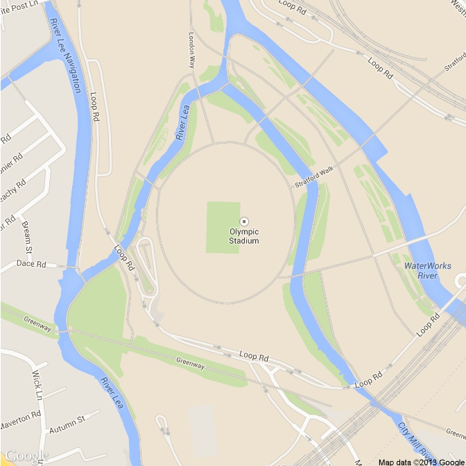
London 2012 Olympic Stadium Google Map Example 3
The final example is a combination of the satellite image and some road and location names.
mapImageData4 <- get_map(location = c(lon = -0.016179, lat = 51.538525),
    color = "color",
    source = "google",
    maptype = "hybrid",
    zoom = 15)

ggmap(mapImageData4,
    extent = "device",
    ylab = "Latitude",
xlab = "Longitude") |
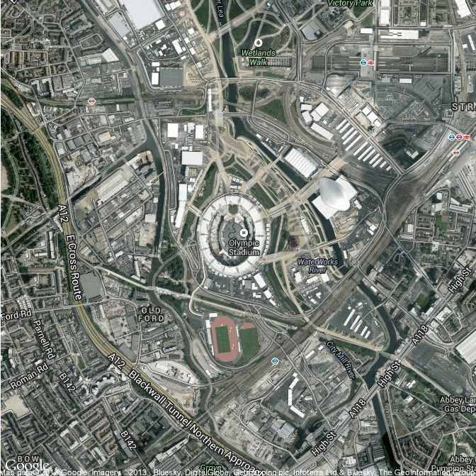
London 2012 Olympic Stadium Google Map Example 4